Published on February 20, 2019.-
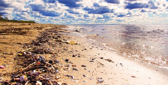
Using data collected through satellite technology, fieldwork, and measuring the light reflected by trash, a team of experts created a model to determine the amount of debris found on beaches.
The project called "Prediction of Marine Anthropogenic Residues in Chiloé (PredRes)" —which is the result of joint work between the General Directorate of the Maritime Territory and the Merchant Marine (Directemar) of the Navy with the Laboratory of Analysis of the Biosphere of the Universidad de Chile, which is financed by the Agency for Sustainability and Climate Change, aims to contribute to a better management of waste from coastal areas.
According to its developers, in Chiloé, where the model has already been applied in three beaches, there is a legal gap in the Environmental Regulation for Aquaculture, which does not determine responsibilities or define how to take care of the waste generated in production. That is why, in a second phase, the team of experts has proposed to deepen in the obtaining of data to know, for example, which are the beaches that are receiving this type of material and who pollutes so that they take charge of their Actions. Another of its objectives is to promote a circular economy around the waste generated.
If you want to learn more about this topic, we invite you to read "U.de Chile researchers create a model to determine beach debris via satellite".